STUDIUMURBIS.ORG
Architecture & Urban Planning in Italy
PUBLICATIONS

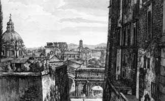
ROMA TRAVERSATA
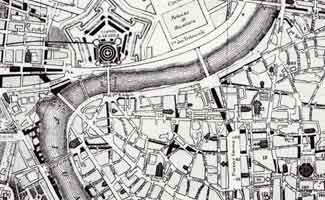
Roma Traversata analyzes pathways to decipher the complexity of Rome's urban layout. Nearly all of the prehistoric country paths converging on what was to become the Roman Forum (the ancient city center) are still traceable in the modern city. To these were added other major streets in ancient times. Additional Medieval and Renaissance streets developed the city further as its center shifted from the Forum toward the Vatican. Some of these provided the framework for Rome's late 19th century urban development.
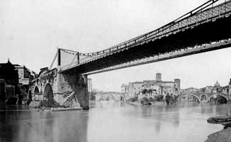
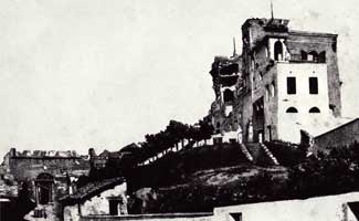
Ceen follows nine routes: three prehistoric, three ancient, and three post-classical pathways through the city, showing us that streets are not merely the space left over between buildings but have a formal character of their own and even determine certain aspects of buildings. Rather than insisting upon the greater importance of streets over buildings, Ceen studies the interactions between buildings and public space, something he describes as urban reciprocity.
Profusely and beautifully illustrated, Roma Traversata shows that streets and pathways of Rome are not merely ways of getting from place to place. They are places.

GIAMBATTISTA NOLLI AND ROME
The following volume is built around papers originally presented at the 2003 international conference sponsored by the Studium Urbis and held in Rome: Giambattista Nolli, Imago Urbis, and Rome. The papers explore cartographic traditions leading up to Nolli and go on to explore his contemporaries and those he influenced, as well as follow Nolli into the present.